
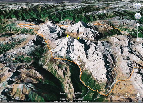
When we planned our trek around Yading we had no decent maps, and had to resort to using Google Earth for route planning. Yading is not covered by high resolution satellite pics, and so Google Earth has its limits. Compare this Google Earth terrain ground level 'fly through' simulation of this area we passed through (the valley to the south of Jambeyang containing Rock's rock) and the real Eartch picture.

Having said that, Google Earth does give a great overall picture of the route, when viewed from a distance and with the 3D terrain feature enabled:


No comments:
Post a Comment