Scanned from a negative
Thursday, November 30, 2006
Tuesday, November 21, 2006
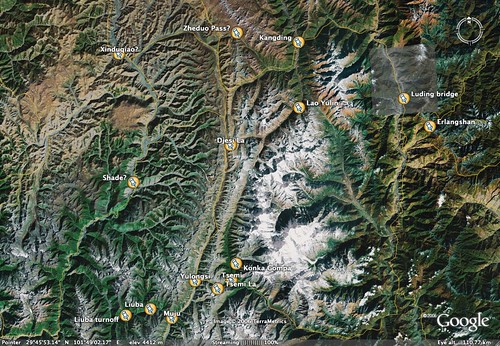
Minya Konka [Gongga Shan 贡嘎山] trek map
n 1929 Joseph Rock made a expedition from Lijiang to the then unclimbed and unsurveyed peak of Minya Konka. He was very impressed and wrongly estimated it to be higher than Everest. You can now do the same trip as a week long trek out of Kangding. The route is Lao Yulin (老愉林, hire horses and guide), then up to the Djesi La [加则拉, camp], over to Yulongsi [玉龙西, overnight] then over the Tsemi La pass (子梅拉)and via Tsemi to the Konka Gompa [贡嘎寺, temple] where you get great views of the mountain and can stay with the solitary monk at this tiny temple. On the way out you can go via Muju and Liuba (六巴)and catch a bus or hitch back to Kangding via Shade, Xinduqiao (新都桥/沙得)and the epic Zheduo Shan Pass.
Here's Joseph Rock's map of the same area from 1929. Kangding was then known as Tatsienlu:
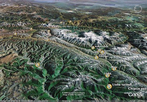
Minya Konka [Gongga Shan] trek map
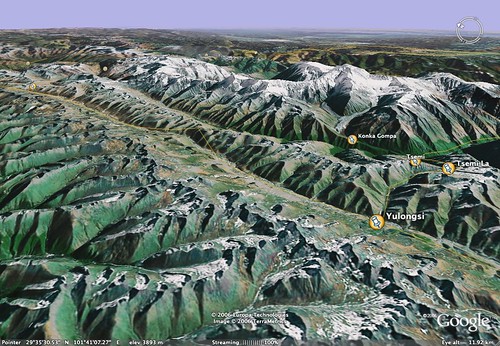
This 3D map from Google Earth shows the trek you can do from Kanding via Lao Yulin over the Djesi La pass to Yulongxi then over the Tsemi La pass to Tsemi and the Konka Gompa (temple) at the foot of the mighty Minya Konka (Gongga Shan). You can exit via Muju and Liuba and take a bus or hitch from the turnoff, back to Kangding via Shade and XinduQiao.
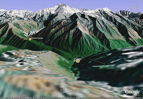
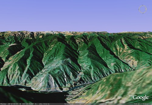
Minya Konka 3D map of view from the Tsemi La (次梅拉)
This 3D image from Google Earth shows the trek you can do from Kanding over the Tsemi La pass to Tsemi and the Konka Gompa (temple) at the foot of the mighty Minya Konka (Gongga Shan). You can exit via Muju and Liuba and take a bus or hitch from the turnoff, back to Kangding via Shade and XinduQiao.




![Me and my guide Gerler at the Minya Konka Gompa [temple]](http://static.flickr.com/104/298046268_ab9bc12e24.jpg)


![Erlang Shan tunnel entrance [western side]](http://static.flickr.com/100/298019265_c3985ed28a.jpg)


